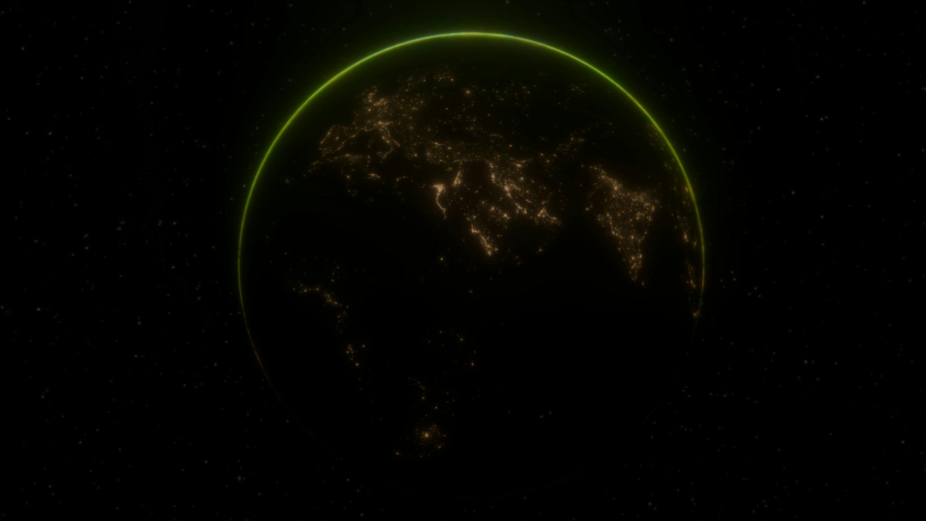
Artificial intelligence processes satellite imagery faster than humans by automating the detection, classification, and analysis of features that would otherwise require teams of analysts working for hours or days. Tasks that previously demanded extensive manual review””such as identifying environmental changes, counting vehicles in parking lots, or mapping disaster damage””now complete in minutes or seconds through convolutional neural networks and deep learning models. NASA demonstrated this capability when an Earth-observing satellite used onboard AI to detect, process, and analyze imagery in less than 90 seconds without any human involvement, automatically determining where to point its instruments based on what it observed.
The speed advantage comes from parallel processing capabilities that allow AI systems to examine thousands of image tiles simultaneously, pattern recognition algorithms trained on millions of labeled examples, and increasingly, edge computing deployed directly on spacecraft. In March 2025, Planet Labs partnered with Anthropic to analyze their daily geospatial data using large language models, enabling near-real-time pattern recognition across one of the largest continuous Earth observation datasets ever created. This represents a fundamental shift from the traditional workflow where satellites captured images, transmitted them to ground stations, and only then could human analysts begin the time-consuming work of interpretation. This article examines the specific mechanisms that make AI faster than human analysis, the real-world applications already in use, the limitations organizations should understand before implementation, and practical guidance for teams looking to integrate these technologies into their workflows.
Table of Contents
- What Makes AI Satellite Image Processing Faster Than Human Analysis?
- How Deep Learning Models Transform Raw Satellite Data Into Actionable Intelligence
- Real-World Applications in Disaster Response and Emergency Management
- Onboard AI and Edge Computing for Real-Time Satellite Intelligence
- Challenges and Limitations of AI-Based Satellite Image Processing
- The Role of Foundation Models in Satellite Imagery Analysis
- How to Prepare
- How to Apply This
- Expert Tips
- Conclusion
- Frequently Asked Questions
What Makes AI Satellite Image Processing Faster Than Human Analysis?
The fundamental speed advantage stems from how neural networks process visual information compared to human cognition. A trained convolutional neural network can classify a 256×256 pixel image tile in milliseconds, while a human analyst might need 30 seconds to a minute to examine the same area carefully. When scaled across a single Sentinel-2 scene containing millions of pixels, this difference becomes stark: AI systems complete in minutes what would take human teams weeks. Processing benchmarks demonstrate the scale of improvement. Research using the SatCNN architecture achieved 99.65% accuracy on satellite classification datasets while training the entire model in approximately 40 minutes.
Studies on the IARPA fMoW dataset of one million images achieved 83% accuracy with deep learning, classifying 15 different land use categories with 95% or better precision. These results would be impossible through manual analysis at any practical timeline or cost. However, raw speed comparisons require context. AI excels at repetitive classification tasks across uniform datasets but still struggles with novel situations, ambiguous imagery, and edge cases that experienced human analysts handle intuitively. The Copernicus program generates 20TB of data daily from just three Sentinel satellites, while commercial operators add another 150TB””volumes that make human-only analysis impractical, but the combination of AI screening with human verification often produces the most reliable results.
How Deep Learning Models Transform Raw Satellite Data Into Actionable Intelligence
Deep learning transforms satellite analysis through hierarchical feature extraction. Early neural network layers detect basic elements like edges and textures, while deeper layers recognize complex patterns such as building footprints, road networks, or crop health indicators. This mirrors how the human visual cortex processes information but operates at computational scales impossible for biological systems. The most widely deployed architectures include U-Net and DeepLabV3+ for semantic segmentation, ResNet variants for classification backbones, and Faster R-CNN for object detection.
A study applying Faster R-CNN with ResNet-101 to detect power infrastructure from WorldView-3 imagery achieved an F1-score of 74.7% and accuracy of 90.9%””performance that enables utility companies to inventory transmission lines across entire regions in days rather than months of manual survey work. Limitations emerge when models encounter conditions outside their training distribution. A model trained primarily on temperate regions may perform poorly in tropical environments where vegetation patterns differ significantly. Cloud cover remains a persistent challenge for optical sensors, though synthetic aperture radar (SAR) can penetrate clouds and operate at night. Organizations should expect accuracy degradation of 10-30% when deploying models in geographic areas or seasons not well-represented in training data, making validation against ground truth essential before operational deployment.
Real-World Applications in Disaster Response and Emergency Management
Disaster response represents one of the most time-critical applications where AI speed directly saves lives. Planet Labs now delivers AI-powered building damage assessments to emergency responders within hours of wildfires, floods, and tornadoes. During the Lahaina fires in Hawaii and tornadoes in Arkansas, these automated assessments helped local governments prioritize rescue efforts and resource allocation when every hour mattered. The Prithvi model, developed through collaboration between NASA and IBM, automates detection of burn scars from multispectral Landsat and Sentinel-2 imagery.
Rather than waiting for human analysts to manually trace fire perimeters, emergency management agencies receive automated damage boundaries that help them understand affected areas while fires are still active. MIT researchers have extended this capability forward in time, developing AI tools that generate realistic satellite imagery showing how regions would appear after potential flooding events, enabling proactive evacuation planning. The ImpactMesh dataset released in 2025 provides before-and-after satellite imagery for extreme floods and wildfires specifically designed to train disaster assessment models. IBM noted that models trained on this data could support planning for immediate response, post-event damage assessment, and reconstruction decisions. SAR sensors prove particularly valuable here since they can image through smoke and clouds that blind optical satellites during active disasters.

Onboard AI and Edge Computing for Real-Time Satellite Intelligence
The next frontier moves AI processing from ground stations directly onto spacecraft, eliminating transmission delays entirely. Satellogic’s AI-first satellites process imagery in real-time as it’s captured using onboard GPUs, representing over 13 years of advancing space-qualified computing hardware. By generating insights within minutes of image acquisition rather than the hours required by ground-based pipelines, these systems enable faster situational awareness for time-sensitive applications. Specific missions demonstrate the operational reality. Planet Labs’ Pelican constellation uses NVIDIA Jetson edge AI platforms for in-orbit processing, delivering analysis-ready data rather than raw imagery.
KP Labs’ Intuition-1, a hyperspectral nanosatellite launched in 2023, executes deep learning models directly in orbit to analyze spectral data before transmission. ESA’s OPS-SAT mission validated these techniques with computing power ten times greater than typical spacecraft, enabling in-orbit testing of AI algorithms. The tradeoff involves significant engineering constraints. Onboard processing reduces the data transmitted to Earth by up to 80%, preserving bandwidth and lowering costs””but power remains the biggest constraint in space. Solar panels and batteries limit computational capacity, and radiation exposure can damage sensitive electronics. Space-qualified processors like NVIDIA Jetson modules and Xilinx FPGAs can deliver up to 1,000 TOPS for AI workloads, but organizations must balance processing ambitions against the fundamental physics of operating in orbit.
Challenges and Limitations of AI-Based Satellite Image Processing
Data quality fundamentally constrains AI performance. Deep learning models require large, diverse, well-annotated datasets, and creating these annotations for satellite imagery demands specialized expertise. Differentiating between similar vegetation types, distinguishing natural features from man-made structures, and ensuring precise geolocation all require sophisticated tools and often manual verification. Clouds obscure underlying features in optical imagery, forcing either exclusion of affected regions or reliance on gap-filling techniques that introduce uncertainty. Computational requirements present practical barriers. Training state-of-the-art models on high-resolution or multispectral imagery demands significant GPU resources””studies report 16 hours per training epoch on NVIDIA V100 hardware for some architectures.
Vision transformers, while achieving strong results, have efficiency that decreases exponentially with image size. Organizations without access to substantial computing infrastructure may find implementation costs prohibitive, though cloud platforms like AWS SageMaker and Google Earth Engine have reduced this barrier. Interoperability issues compound these challenges. Different satellite operators use proprietary data formats and processing pipelines, making integration difficult. Spatial, spectral, and temporal resolutions vary significantly between sensors, complicating data harmonization. High-resolution commercial imagery often requires expensive licensing fees, limiting accessibility for smaller organizations and developing regions where Earth observation insights might provide the greatest benefit.

The Role of Foundation Models in Satellite Imagery Analysis
Foundation models represent a significant shift in how organizations approach satellite imagery AI. Rather than training custom models from scratch for each application, teams can now fine-tune pre-trained models like the Prithvi geospatial foundation model or leverage general-purpose vision models adapted for remote sensing. This reduces the labeled data requirements and computational costs that previously made AI satellite analysis accessible only to large institutions.
The Segment Anything Model 2 (SAM 2) exemplifies this transformation when integrated into annotation workflows. Instead of pixel-by-pixel manual labeling, analysts can use AI-assisted tools that propose segmentation boundaries requiring only human verification and correction. UC Berkeley’s MOSAIKS system demonstrated that a single encoding of satellite imagery can generalize across diverse prediction tasks””forest cover, house prices, road length””enabling researchers to run analyses on laptops without specialized training or expensive computing clusters.
How to Prepare
- **Define specific use cases with measurable outcomes.** Vague goals like “use AI for satellite analysis” lead to scattered efforts. Specify whether you need land cover classification, change detection, object counting, or damage assessment, and establish accuracy thresholds that constitute success.
- **Audit available data sources and their limitations.** Determine whether free data from Sentinel or Landsat meets resolution requirements, or if commercial imagery is necessary. Catalog cloud cover statistics for your regions of interest and assess whether SAR data might be required for all-weather capability.
- **Establish ground truth collection processes.** AI models require labeled training data. Plan how you will collect validation samples, whether through field surveys, existing databases, or crowdsourced annotation. Insufficient ground truth is the most common reason satellite AI projects fail to achieve production accuracy.
- **Evaluate computing infrastructure requirements.** Determine whether cloud platforms like AWS, Google Cloud, or Microsoft Azure meet your needs, or if on-premises GPU clusters are necessary for data security or cost reasons. Factor in storage costs for satellite imagery, which can reach petabytes for multi-year archives.
- **Identify necessary expertise gaps.** Effective satellite AI requires remote sensing knowledge, machine learning engineering, and domain expertise for interpretation. Few individuals possess all three, so plan for team composition or training accordingly.
How to Apply This
- **Start with established architectures proven for your task type.** For semantic segmentation, begin with U-Net or DeepLabV3+. For classification, use ResNet50 as a backbone. For object detection, Faster R-CNN provides reliable baseline performance. Novel architectures rarely outperform established ones enough to justify the additional development risk.
- **Implement preprocessing pipelines before model development.** Use geospatial libraries like Rasterio, GDAL, or Google Earth Engine to handle projection alignment, band extraction, and tiling. Adopt cloud masking algorithms appropriate for your sensors, such as the Sen2Cor processor for Sentinel-2 data.
- **Deploy inference systems designed for satellite imagery scale.** Standard ML serving infrastructure often fails with satellite data volumes. Implement tiled inference with overlap to avoid edge artifacts, batch processing across time series, and efficient storage of results in geospatial formats like Cloud Optimized GeoTIFFs.
- **Establish continuous validation against ground truth.** Model performance degrades as conditions change””seasonal vegetation differences, sensor calibration drift, and land use changes all affect accuracy. Schedule regular revalidation and retraining cycles rather than assuming initial performance persists indefinitely.
Expert Tips
- Use a “time-first, space-later” approach for change detection: analyze temporal patterns at each location before applying spatial smoothing, which helps distinguish genuine changes from sensor noise and reduces false positives.
- Do not deploy models trained on one geographic region to entirely different regions without validation. Tropical, temperate, and arid environments have fundamentally different spectral signatures that cause models to fail silently with high-confidence wrong predictions.
- Leverage transfer learning from foundation models rather than training from scratch. Fine-tuning Prithvi or similar geospatial models requires 10-100x less labeled data than building custom architectures while often achieving comparable performance.
- Implement confidence thresholds that route uncertain predictions to human review rather than accepting all model outputs. A 95% confidence threshold might eliminate 20% of automated predictions but catch the majority of errors.
- Integrate SAR and optical data when possible. SAR penetrates clouds and provides structural information that complements the spectral detail from optical sensors, significantly improving reliability for operational applications where data gaps are unacceptable.
Conclusion
AI has transformed satellite imagery processing from a labor-intensive bottleneck into a scalable analytical capability. The combination of deep learning architectures, massive training datasets, and increasingly powerful onboard computing enables analysis at speeds and scales impossible for human teams alone. Organizations across agriculture, disaster response, environmental monitoring, and urban planning now rely on automated processing that delivers results in minutes rather than weeks.
The technology continues advancing rapidly, with foundation models reducing the expertise required for implementation and edge computing eliminating transmission delays entirely. However, successful deployment still requires understanding the limitations””training data quality, regional generalization, computational costs, and the continued need for human oversight of critical decisions. Organizations that approach AI satellite analysis as a tool requiring careful implementation rather than a turnkey solution will achieve the most reliable operational results.
Frequently Asked Questions
How long does it typically take to see results?
Results vary depending on individual circumstances, but most people begin to see meaningful progress within 4-8 weeks of consistent effort. Patience and persistence are key factors in achieving lasting outcomes.
Is this approach suitable for beginners?
Yes, this approach works well for beginners when implemented gradually. Starting with the fundamentals and building up over time leads to better long-term results than trying to do everything at once.
What are the most common mistakes to avoid?
The most common mistakes include rushing the process, skipping foundational steps, and failing to track progress. Taking a methodical approach and learning from both successes and setbacks leads to better outcomes.
How can I measure my progress effectively?
Set specific, measurable goals at the outset and track relevant metrics regularly. Keep a journal or log to document your journey, and periodically review your progress against your initial objectives.
When should I seek professional help?
Consider consulting a professional if you encounter persistent challenges, need specialized expertise, or want to accelerate your progress. Professional guidance can provide valuable insights and help you avoid costly mistakes.
What resources do you recommend for further learning?
Look for reputable sources in the field, including industry publications, expert blogs, and educational courses. Joining communities of practitioners can also provide valuable peer support and knowledge sharing.