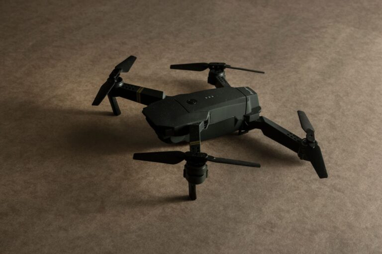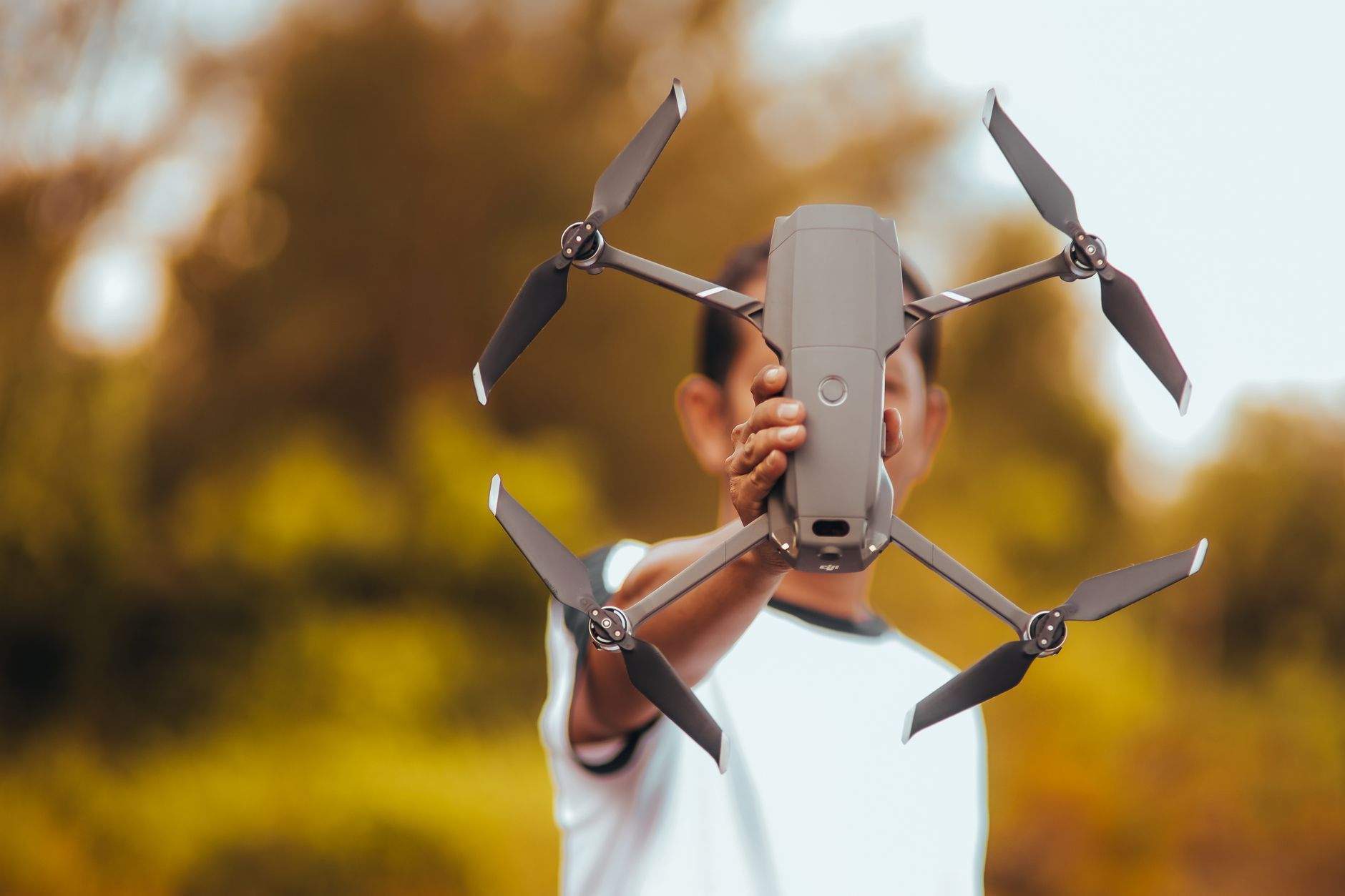

Drone technology is transforming agricultural practices across rural India by automating labor-intensive farming tasks and providing farmers with data they previously could not access. From crop monitoring to pesticide application, drones are reducing the physical burden on Indian farmers while cutting operational costs—though the transition is neither swift nor without friction. In states like Maharashtra and Punjab, early adopters have integrated fixed-wing agricultural drones into their workflow to survey large fields in a fraction of the time manual scouting would require, revealing pest infestations and water stress patterns that shape irrigation and treatment decisions. The scale of this shift matters because Indian agriculture employs over 400 million people, many in small-holding farms where labor is expensive and seasonal workers are increasingly difficult to secure.
Drones lower the barrier to participation in precision agriculture, a practice that has long been the domain of large-scale operations with capital for satellites and specialized consultants. The accessibility of drone technology—now available at scales and price points within reach of farmer cooperatives and even individual medium-sized holdings—is creating space for rural communities to adopt farming methods that were previously confined to industrial-scale operations. This transformation is neither automatic nor complete. Drone adoption requires infrastructure, training, and regulatory clarity that rural India is still building. Yet the momentum is visible in the expansion of drone service centers in agricultural regions, the emergence of farmer training programs, and a regulatory environment that is gradually opening doors rather than closing them.
Table of Contents
- How Are Drones Reshaping Agricultural Labor in Indian Farming Communities?
- Data Collection and Precision Agriculture: What Can Farmers Actually Learn from Drones?
- Regulatory Environment and the Path to Scaled Adoption
- Cost Economics and Accessibility for Small Farmers
- Weather, Infrastructure, and Technical Limitations
- Knowledge Transfer and Farmer Training
- Market Dynamics and the Role of Aggregators
- Frequently Asked Questions
How Are Drones Reshaping Agricultural Labor in Indian Farming Communities?
Labor availability in Indian agriculture has been tightening for years as workers migrate to cities and younger generations pursue education or service-sector jobs. Drones address this by automating the most time-consuming, physically demanding tasks. Crop surveillance that once required walking entire fields multiple times per season now takes place from the air in minutes, capturing imagery and spectral data that reveal problems invisible to the human eye. Pesticide and fertilizer application by drone is faster and more targeted than manual spraying, reducing both input costs and human exposure to chemicals. The efficiency gains are measurable even in small deployments. A farmer managing thirty acres can cover the field with a drone in two to three hours—a task that would require days of manual labor or rely on hired workers.
For seed dispersal across water-logged fields during monsoon season, drones eliminate the need for workers to wade through terrain that is hazardous or impossible to cross. This matters not merely for speed; it matters because it reduces the dependency on seasonal labor that may not be available or affordable in the moment of need. However, the labor displacement concern is real and worth stating plainly. While drones create demand for new skills—pilots, maintenance technicians, data analysts—they eliminate some traditional agricultural labor. The net effect depends entirely on whether those displaced workers have pathways to retrain and whether the productivity gains translate to better farm incomes rather than simply to larger profits for equipment suppliers. Rural India’s success with drone adoption will depend partly on how seriously communities address this transition.
Data Collection and Precision Agriculture: What Can Farmers Actually Learn from Drones?
A drone equipped with multispectral cameras can generate maps of field health that identify water stress, nutrient deficiencies, and pest pressure before a farmer can see it with the naked eye. Normalized difference vegetation index (NDVI) imagery, which correlates to plant health, gives farmers actionable information about where to concentrate irrigation or fertilizer applications—leading to significant input savings on large fields. In fields where water is scarce or expensive, this precision can mean the difference between a viable crop and financial loss. Real-world application: A farmer managing rice paddies can use drone imagery to detect uneven water distribution or disease pockets early enough to intervene. A farmer growing sugarcane can monitor the field’s ripeness variability and time harvest to maximize sugar content rather than harvesting uniformly.
Yet the limitation here is critical: drone data is only useful if farmers have the skills to interpret it and the resources to act on it. A drone photograph showing a diseased area is worthless if the farmer cannot afford fungicide, lacks access to spraying equipment, or does not know what disease they are looking at. The data chain is broken at multiple points in rural India. Many farmers lack reliable electricity for charging equipment, internet connectivity for uploading data to analysis platforms, or familiarity with the software interfaces required to extract meaning from the imagery. Some drone service providers are beginning to bridge this gap by offering not just the flight service but also the data interpretation—translating imagery into recommendations—but this remains a centralized service that is not yet widely distributed across rural areas.
Regulatory Environment and the Path to Scaled Adoption
India’s drone regulatory framework has evolved significantly, moving from near-prohibition to a structured system that permits commercial agricultural operations under specific conditions. The Directorate General of Civil Aviation (DGCA) has established categories for drone operations, and agricultural spraying drones fall into a category that allows operation with reasonable notice and safety protocols. This framework is necessary but remains complex enough that many small-scale farmers find the compliance burden daunting. Regulatory clarity matters because it allows manufacturers and service providers to invest in rural infrastructure.
Several Indian companies have begun offering drone-as-a-service models in agricultural zones, where farmers rent flying time rather than purchasing equipment outright. This model reduces the capital barrier and spreads the regulatory burden across a provider that can maintain proper licensing, insurance, and safety protocols. The tradeoff: the farmer loses some autonomy and may face scheduling delays if demand for the service is high during critical windows like pest emergence or harvest preparation. The state governments in agricultural regions like Punjab, Haryana, and Karnataka have begun offering subsidies or grants for drone adoption by farmer cooperatives, treating it as part of broader agricultural modernization. These programs accelerate adoption where they exist, but their availability is patchy and often tied to specific crops or cooperative membership, leaving individual farmers and smaller groups behind.
Cost Economics and Accessibility for Small Farmers
The purchase price of an agricultural drone ranges widely—from $3,000 for basic fixed-wing models designed for surveillance to $15,000 or more for multispectral-equipped platforms capable of detailed crop analysis. For small-holding farmers, especially those managing fewer than ten acres, the economics do not favor ownership. The utilization rate would be too low to justify the capital outlay, and maintenance and replacement of worn components would consume additional resources. This is where the service model becomes critical. Drone service centers in rural regions charge farmers by the acre or by the flight, typically ranging from $1 to $3 per acre for basic crop monitoring.
At these rates, even a small farmer can access drone surveillance for seasonal monitoring without capital outlay. The comparison to traditional methods: hiring a scout or consultant to survey fields might cost the same or more per visit, but would be less frequent and less comprehensive. The comparison to satellite imagery: commercial satellite data provides similar information but often has lower temporal resolution (revisit times of days or weeks rather than hours) and cannot be scheduled on demand. The limiting factor for price-sensitive farmers is still availability and reliability of service. In areas with multiple drone service providers, competition drives costs down and service quality up. In areas with only one provider or none at all, farmers either travel to distant service centers or forgo the benefit entirely.
Weather, Infrastructure, and Technical Limitations
Drones cannot fly safely in heavy rain, high winds, or thick dust—conditions that are common during harvest season or monsoon preparation in much of India. Battery life limits flight time to 15–30 minutes depending on the drone model and payload, which constrains the area that can be surveyed in a single deployment. Replacement batteries are an ongoing expense, and in areas with unreliable electricity infrastructure, charging becomes logistically complicated. The warning here is that drone technology is not a solution that works uniformly across all seasons and conditions. A farmer relying on drone spray application for pest management must have clear weather windows—a constraint that may force them to keep conventional spraying equipment as backup.
A farmer depending on drone imagery for irrigation decisions must have the flight completed days before the water application, allowing time to analyze data and plan intervention. These timing constraints are different from but not necessarily easier than the constraints imposed by human labor or conventional methods. Equipment durability is also an issue in rural settings where repair infrastructure is limited. A drone damaged by a hard landing or electrical failure may need to be sent to a service center in a city, incurring transport costs and downtime that can stretch to weeks. Some service providers are beginning to establish mobile repair units, but coverage remains thin outside major agricultural zones.
Knowledge Transfer and Farmer Training
The bottleneck for widespread adoption is not technology maturity but human capacity. Farmers must learn to operate drones safely, interpret data, and integrate recommendations into their existing practices. Training programs run by agricultural universities, NGOs, and drone manufacturers are expanding, but they are concentrated in areas with existing adoption momentum. A farmer in a remote district may have no training opportunity within a hundred kilometers.
Training addresses both technical skills and conceptual understanding. A pilot must learn to preflight-check equipment and navigate safely; an agronomist or lead farmer must learn to interpret imagery and convert it into field recommendations. The most effective model appears to be training farmer cooperatives as a unit, designating one or two members as primary operators and data analysts while others handle field implementation. This distributes the learning load and creates a local support structure.
Market Dynamics and the Role of Aggregators
Equipment manufacturers from India, China, and other countries are competing aggressively for market share in agricultural drones, driving innovation in battery life, sensor capability, and ease of use. At the same time, agricultural input companies and agri-tech startups are building aggregation platforms that combine drone services with other precision inputs—soil testing, customized fertilizer blending, market linkage—creating bundles that make it easier for farmers to adopt multiple practices simultaneously.
These aggregators can accelerate adoption in pockets where they operate, but they also concentrate value capture upstream, potentially limiting the benefit that flows back to farmers. A farmer using a drone service bundled with a fertilizer recommendation is more likely to adopt both, but is also more likely to follow the aggregator’s fertilizer brand rather than shopping for the best price. The comparison to conventional supply chains: it may simplify decision-making, but it reduces farmer autonomy in input selection.
- —
Frequently Asked Questions
What do agricultural drones cost to buy versus rent?
Fixed-wing drones for crop monitoring cost $3,000–$15,000 to purchase. Service rental typically ranges from $1–$3 per acre, making it more accessible for small farmers who cannot justify ownership. Purchase makes economic sense at scales above 50–100 acres.
Can drones spray pesticides as safely as human applicators?
Drones can deliver more targeted, lower-volume applications to affected areas, reducing overall chemical use and human exposure. However, they cannot operate in heavy rain, strong winds, or dust storms, so conventional spraying equipment remains necessary as backup.
How long does drone imagery analysis take before a farmer can act on it?
Flight time is typically one to three hours per field, but interpretation and recommendation generation can take hours or days depending on whether a human agronomist reviews the data or automation is used. Quick turnaround requires access to skilled interpreters locally.
Do drone operators need special licensing in India?
Yes, the DGCA requires appropriate licensing and operational approvals. Service providers handle this, but farmers buying their own drones must complete training and maintain valid permissions, adding compliance complexity.
What happens if a drone breaks down during harvest season?
Repair infrastructure outside major cities is limited, and replacement parts may require shipping to distant service centers. This can mean weeks of downtime during critical farm windows, which is why many farmers retain conventional methods alongside drone use.
Are government subsidies available for drone purchases?
Several state governments offer partial subsidies through agricultural modernization schemes, but availability varies widely by region, crop type, and whether the farmer belongs to a registered cooperative. Individual farmers in unsupported areas typically receive no subsidy.